
Association "Dr. Maria Reiche - Lines and Figures of the Nasca Culture/Peru"

Nascaproject |
Expeditions |
Photogrammetry |
Remote Sensing |
Terrain model |
NascaGIS |
Astronomy |
Animations |
Archives |
Theses |
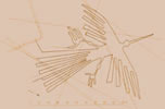
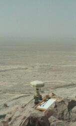
The Research Project "Nasca"Scientist of the Faculty of Spatial Information at the University of Applied Sciences (HTW) Dresden are members of the association. In 1995 they found the research project "Nasca". The project leader is Prof. Dr.-Ing. Bernd Teichert. In 2003 the Czech Technical University (Photogrammetric Laboratory) joined the Nasca project and since that time a very successful cooperation exists.The main target of the project is the development of a Geographic Information System (GIS),
which makes it possible to assemble, store, analyze and present geographically
referenced information about the lines and figures of Nasca and Palpa.
Another aim of the project is to find an astronomical caused construction scheme of the lines and figures, if it exists. In this way it should be taken up and continued the work of Maria Reiche. All the results of the project are presented as WebGIS applications via Internet. |