The seventh Expedition 2010
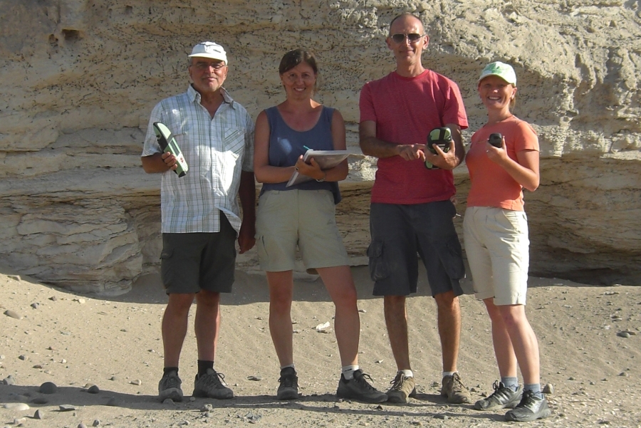
The main participants of the measuring campaign in August/September 2010 were
Prof. Dr. Bernd Teichert (HTW Dresden),
Ing. Karolina Hanzalova (CVUT Prague), Alex Cerveny Sao Paulo/Brazil
and MSc. (GIS) Christiane Richter (HTW Dresden).
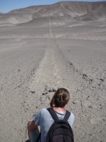
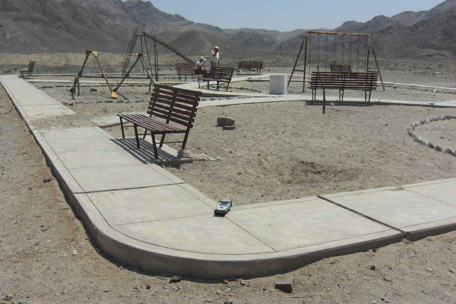
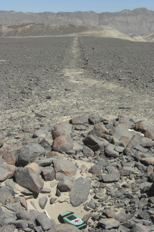
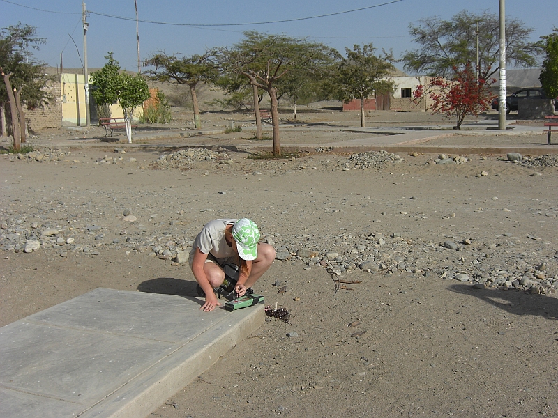
The aim of the expedition was the determination of ground control points (GCP's) with GPS as a basis for the
rectification of new satellite images (Quickbird and GeoEye). Approximately 200 GCP's, covering an area of 45 km x 45 km, were measured.
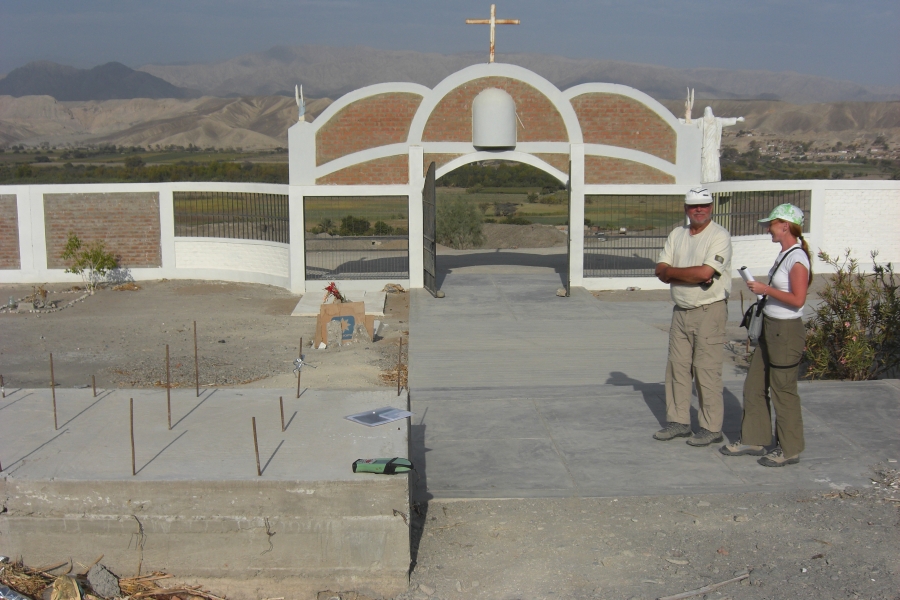
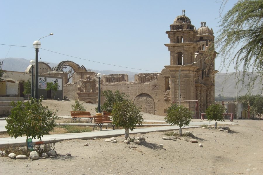
Additionally the ruin of the church in San Jose was measured with photogrammetric techniques as a basis for a 3D animation.
The GPS instruments were provided by the company Leica Geosystems/Germany.
As every time the company Química Suiza in Lima/Peru supported the expedition with the clearing formalities.
|